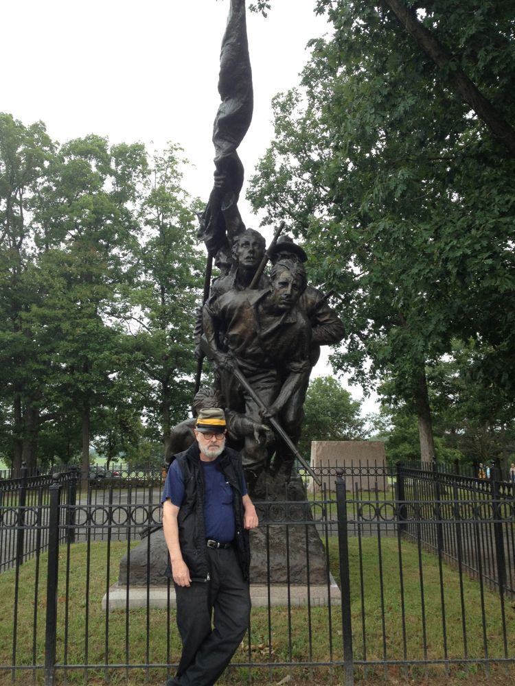
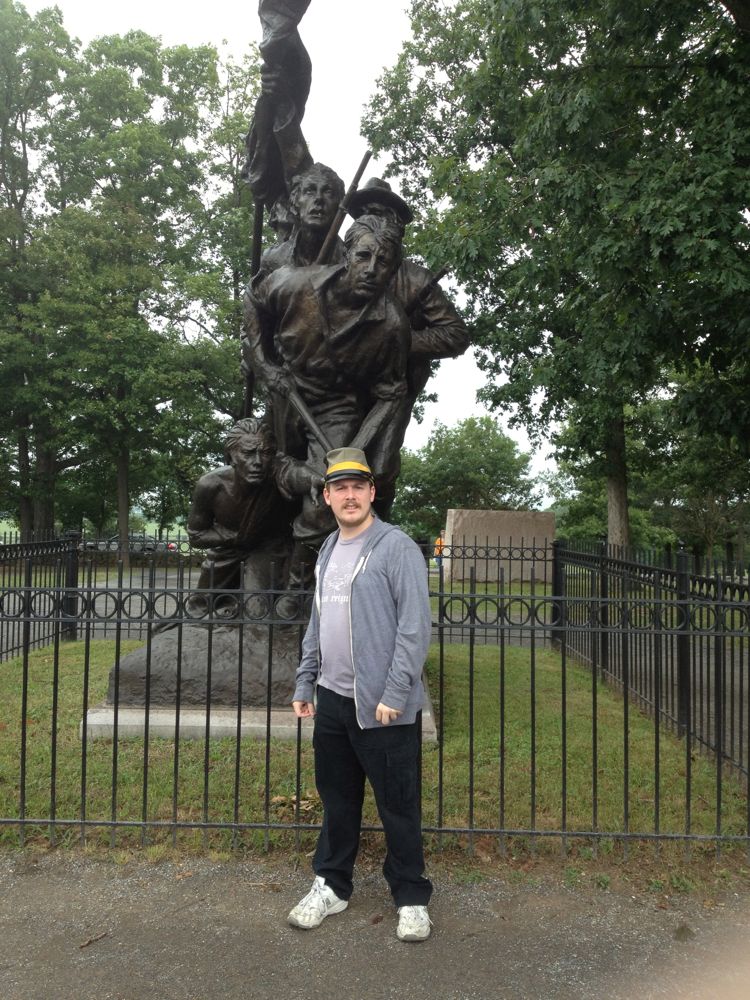
On our epic 3000-mile drive from Las Vegas to Maine for a family wedding, my nephew Harry and I stopped for a night and half a day at the Gettysburg battlefield in Pennsylvania, where I fulfilled a longstanding ambition (dating from when I was 10) to walk the route of Pickett’s Charge. Above, I pose at the North Carolina monument, where Lee’s Tar Heel troops assembled for the start of the charge. Below, Harry poses in front of the monument.
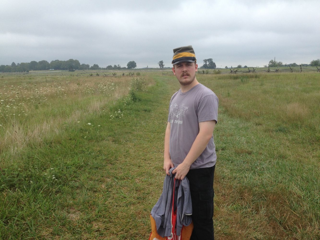
It’s about a mile from Seminary Ridge, the location of the Confederate line, to Cemetery Ridge, the location of the Union line. The distant tree to the left of Harry in the picture below is located at what became know as The Angle, a crook in the fence that ran along the front of the Union position.
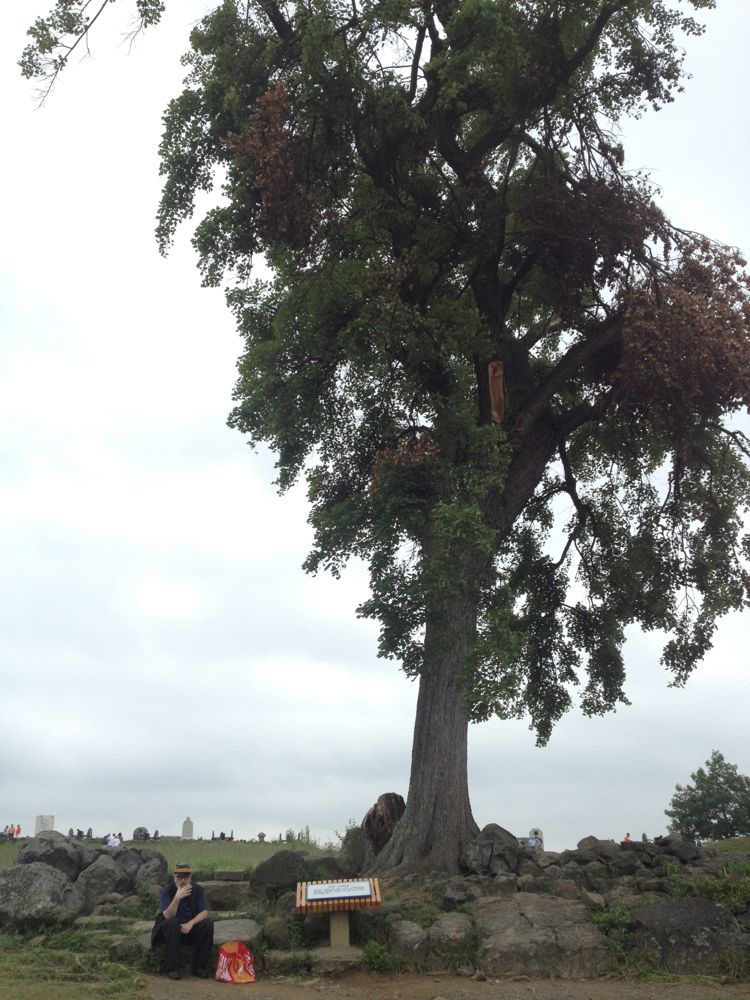
This was where the Confederate troops were meant to converge, but very few of them made it that far, and only a handful of Virginians broke through the line of Union riflemen behind the fence to the line of cannon beyond, where they were slaughtered. Below, I take a cigarette break under that tree at the site of The Angle.
The route of the charge looked long from Seminary Ridge, but we traversed in hardly any time at all. On the afternoon of 3 July 1863, it must have seemed like the longest mile any men had ever been asked to walk.
Click on the images to enlarge.


