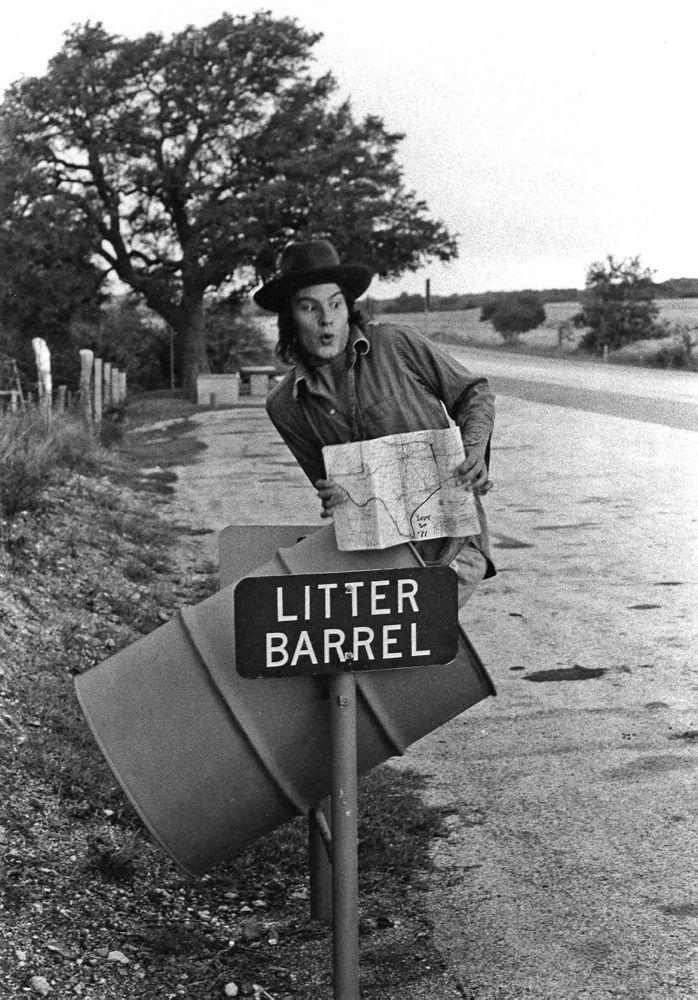
. . . in 1971 I snapped this picture of my traveling companion Lang Clay. We had a map, as you can see, but really no idea of how big Texas actually is. We went a little nuts driving across it, wondering if we would ever get out. We were also sleeping mostly at rest stops, under picnic tables in sleeping bags, unless it was raining, in which case we tried to sleep in my vehicle, a tiny sports car, though this was pretty much impossible.
The image was part of a project Lang was engaged in at the time to take, or have taken, a photograph of himself every day for a year. In the end he missed only 25 days.
Lang has since become a successful and respected professional photographer — I’m still on the road, heading for another joint.
Photo © 1971 Langdon Clay


I just learned yesterday that Atlanta, TX — in the eastern part of the state — is closer to Atlanta, GA than it is to El Paso.
The size of the state doesn’t rattle me anymore, but on that first drive through the widest part of it I just kept thinking, “This CAN’T still be Texas!” Driving across Nebraska is actually worse — doesn’t take as long but the scenery NEVER changes. You find yourself saying, “Look — a tree!”